Steepless originated from cheeaun’s four‑month stay in San Francisco in September 2014, during which the developer felt a need for a tool to navigate the city’s steep hills. The project’s README explains that the app was built to find the flattest possible routes between two points while avoiding the hilliest streets, directly addressing the challenge of SF’s topography.
The application is built with React and Node.js, requiring users to run npm install and npm start to launch it locally. Its user interface draws inspiration from a Google Maps elevation demo for San Francisco (though the link is noted as broken) and incorporates elements of Google’s Material Design, while SVG icons are generated via Fontastic. The source code is released under the MIT license and is publicly accessible at cheeaun.github.io/steepless/.
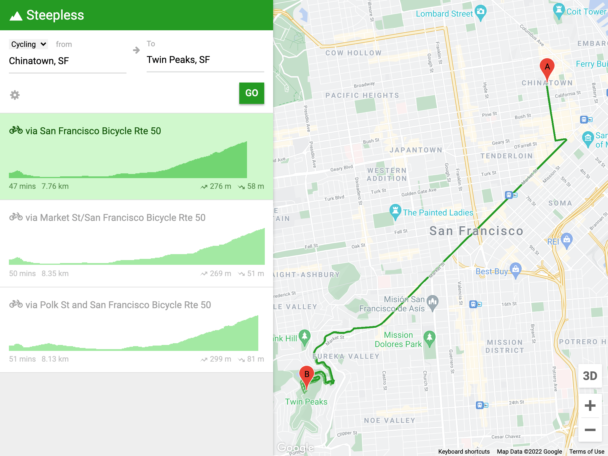
This image depicts the Steepless application's interface, which the article describes as being inspired by Google Maps and using Material Design.

This image shows a different view of the Steepless application, supporting the article's description of the app's user interface.
While the README covers setup, design influences, and licensing, it does not specify the source of elevation data or the algorithm used to compute the flattest routes, leaving the core routing mechanism undocumented in the supplied materials. Consequently, details about how Steepless determines road gradients or processes geographic information are not described in the project’s own documentation.